Publications
Project Factsheet in English
Project Factsheet in Vietnamese
Rice growing farmers and national agricultural institutes will have access to innovative technology and to new insurance/financing solutions, leading to growing production and thus contributing to enhanced food security for a growing population.
| Pays/région | Thème | Période | Budget |
|---|---|---|---|
|
Asie |
Agriculture et sécurité alimentaire Développement économique inclusif
Développement agricole
Développement de petites et moyennes entreprises |
01.06.2011
- 30.04.2015 |
CHF 5’300’000
|
| Contexte |
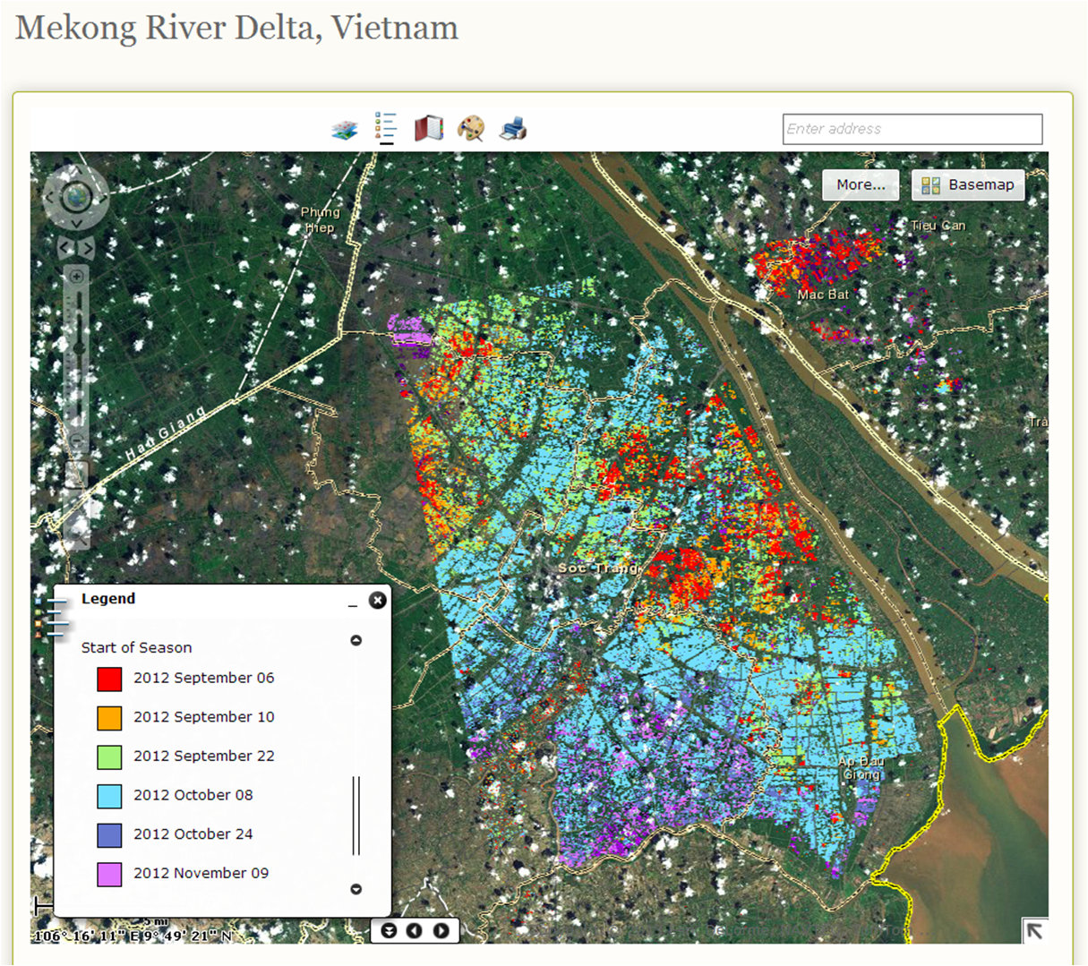
In Vietnam, rice is grown on 4 million hectares up to three times per year, amounting to an annual harvested area of 7.9 million hectares. Annual rice production is around 44 million tons, of which 6.6 million tons was exported in 2013[i]. Vietnam is one of the top five countries in the world most severely affected by climate change and the Mekong Delta, where most of Vietnam’s rice is produced, is in the group of three deltas most significantly affected by the global sea level rise[ii]. In coping with such risks, timely and reliable information on rice production is required to better understand supply and demand allowing farmers to stabilize their income and increase their resilience to climate shock related crop losses. Information on crop area, crop status and crop yield is produced through a combination of weather-independent radar imagery and crop growth simulation modeling (CGSM), validated by field observations. Part of the risk management process also encompasses an insurance solution for smallholders that helps to relieve state budget stresses and enables fast payout in case of natural disasters. As such, the project both meets the needs of Vietnamese rice farmers and feeds into the Strategic Framework of the Swiss Agency for Development and Cooperation’s (SDC) Global Programme on Food Security (GPFS), aiming at reducing vulnerability as well as improving resilience and response capacities of smallholders to external shocks. [i] General Statistics Office of Vietnam website at http://www.gso.gov.vn/ accessed on 16 April 2015 [ii] Speech of Minister of Planning and Investment, July 2013, unpublished |
| Objectifs |
In Vietnam, RIICE targets smallholder rice farmers. The second target group comprises of relevant government agencies and research institutions (MARD, NIAPP, IMHEN, CTU, etc.) as well as international organizations and NGOs. The third target group comprises of partners in the field of crop insurance solutions including the Insurance Supervisory Authorities (MOF) and non-life insurance companies, notably Bao Viet, Bao Minh, Vina Re. |
| Résultats |
Principaux résultats attendus: A mapping system for the generation of i) a baseline rice extent map and ii) rice production figures (including area, yield, planting time and damages due to flood and drought) in the selected areas. The development and testing of a new crop growth model capable of estimating potential, actual and forecasted yield. Capacity building of local partners. A database including WebGIS capabilities incorporating key products accessible to all partners of the project, e.g. including government agencies. Provision of remote-sensing based data on rice production, yield and loss estimations to crop insurers. |
| Direction/office fédéral responsable |
DDC |
| Crédit |
Coopération au développement |
| Partenaire de projet |
Partenaire contractuel Secteur privé
|
| Budget | Phase en cours Budget de la Suisse CHF 5’300’000 Budget suisse déjà attribué CHF 5’118’550 |
| Phases du projet |
Phase 3
01.08.2018
- 31.08.2022
(Completed)
Phase 2
01.05.2015
- 30.09.2018
(Completed)
Phase 1 01.06.2011 - 30.04.2015 (Completed) |
| Secteur selon catégorisation du Comité d'aide au développement de l'OCDE |
AGRICULTURE INDUSTRIES MANUFACTURIERES |
| Sous-Secteur selon catégorisation du Comité d'aide au développement de l'OCDE |
Développement agricole
Développement des Petites et moyennes entreprises (PME)
|
| Thème transversal |
Droits de l'homme Le projet contribue à améliorer le fonctionnement de l'organisation partenaire |
| Type de soutien |
Aide publique au développement (APD) |
| Type de collaboration |
Coopération bilatérale |
| Type de financement |
Don |
| Type d'aide |
Contribution à des projets ou programmes |
| Aide liée/non liée |
Aide non liée |
| Numéro de projet |
7F07934 |
Project Factsheet in English
Project Factsheet in Vietnamese